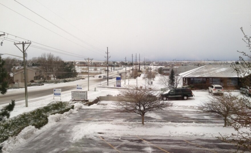
A snowstorm that was expected to dump heavy snow in eastern Colorado is arriving in bits and pieces.
High winds late Monday kicked up ahead of the snowstorm, and winter storm warnings are still up for the Front Range -- and blizzard warnings for areas of the Eastern Plains.
“It is big, and really vigorous, like you do typically get around here in the spring,” says National Weather Service meteorologist Kyle Fredin. “The thing about this storm is there’s a lot of cold air. We’re looking at single digits... and some teens up in Wyoming. Mid-teens are starting to work their way into northern Colorado as well. Roads are starting to get real slick, and there’s a glaze of ice out there pretty much all over northeast Colorado.”
Fredin says snow totals will come in a bit lower than forecasters initially thought, with 3 to 5 inches expected for the Front Range, and 2 to 4 inches for the Eastern plains.
Denver airport officials say the storm prompted about 300 flight cancellations this morning – mainly for commuter flights to mountain towns and cities. and are closed this morning -- along with around the Front Range.
Forecasters expect the storm to wind down and move out of the area by Tuesday evening.
Update 6:40 am: has closed its Greeley, Windsor and Ft. Lupton campuses. The Loveland campus will be open.
Update 8:15 am: is reporting 465 flight cancellations this morning, and de-icing delays of 15-30 minutes.


