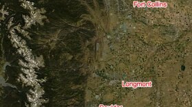
When NASA鈥檚 Aqua satellite looks down on Colorado, it can tell without too much trouble that this is indeed a bad year for wildfires.
The High Park Fire, which has consumed nearly 90,000 acres since June 9th, shows its scars from space. The area is blackened, and a large plume drifts east across the landscape.
Several other fires, including the Waldo Canyon Fire, Weber Fire, and Little Sand Fire, also have visible plumes. The Woodland Heights Fire started the day this photo was taken.
Current information on the labeled fires in the photo:
- Waldo Canyon Fire: 4,500 acres 鈥� 5% contained
- Woodland Heights Fire: 27.3 acres 鈥� 100% contained
- Weber Fire: 8,930 acres 鈥� 15% contained
- Little Sand: 22,010 acres 鈥� 29% contained
Note that because this picture was taken several days ago, the Flagstaff Fire, which started burning today near Boulder, cannot be seen.
Update 06/27/2012 - NASA's MODIS Aqua satellite took . There is video as well from a retired NASA employee who was in the area.


